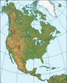
North America Relief Map
North America Map > North America Travel • Political Map • Relief Map
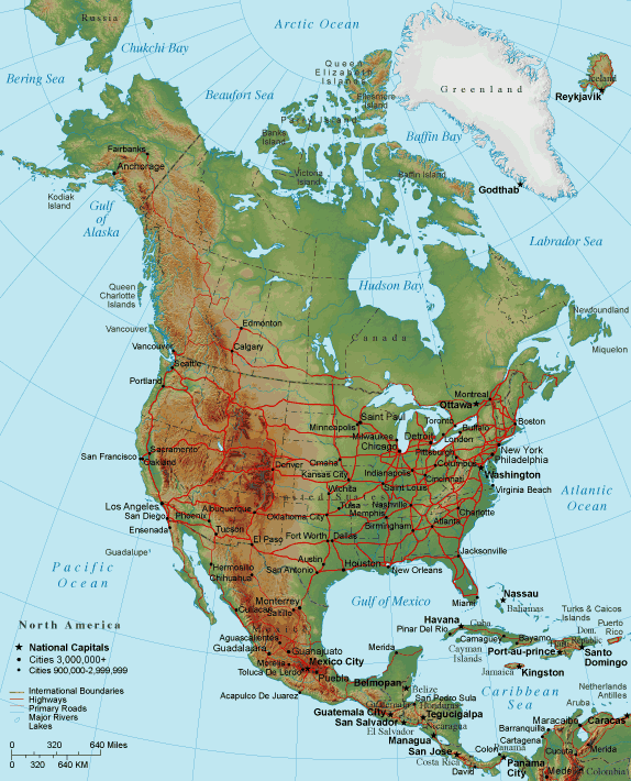 |
The terrain of North America features a notable spine of mountain ranges extending from Alaska, down through western Canada and United States, reaching into Mexico and even Central America. The ridge line of this topographical feature is known as the Continental Divide. East of this Divide, waters flow into Hudson Bay, the Atlantic Ocean, and the Gulf of Mexico. West of this Divide, waters flow into the Pacific Ocean.
Notice on this map that the island of Greenland, considered part of North America, is almost entirely covered by glacial ice. In addition, much of the Arctic Ocean is ice-covered year-round, while the waters adjoining northern Canada and Alaska are often free of ice during the late summer months. This phenomena has become more frequent and widespread in recent years, which some scientists have attributed to a global warming climate trend. Indeed, if this trend continues, it could open a long-sought "Northwest Passage" for shipping during several months of the year.
Related Sites
For additional North American relief maps, satellite maps, and topographical maps, please visit the Map Information from the United States Geological Survey and The Atlas of Canada.North America relief map © Map Resources.
North America Relief Map